- ///
- চকরিয়া

চকরিয়া, চট্টগ্রাম
চকরিয়া উপজেলা বাংলাদেশের দক্ষিণ-পূর্বাঞ্চলে কক্সবাজার জেলার অন্তর্ভুক্ত। প্রায় ৬৪৩.৪৬ বর্গকিলোমিটার এলাকা জুড়ে বিস্তৃত, এটি উত্তরে লোহাগাড়া উপজেলা, দক্ষিণে কক্সবাজার সদর ও রামু উপজেলা, পশ্চিমে বঙ্গোপসাগর এবং পূর্বে লামা ও নাইক্ষ্যংছড়ি উপজেলার দ্বারা সীমাবদ্ধ। আয়তনের দিক থেকে চকরিয়া কক্সবাজার জেলার সবচেয়ে বড় উপজেলা।
উপজেলাটি ১৮টি ইউনিয়নে বিভক্ত এবং বিভিন্ন পেশার মানুষের সমন্বয়ে গঠিত। কৃষি স্থানীয় অর্থনীতির একটি গুরুত্বপূর্ণ অংশ, যেখানে প্রধান ফসল ধান, সুপারি এবং লবণ। উপকূলীয় অবস্থানের কারণে মাছ ধরা এবং লবণ উৎপাদন এখানে উল্লেখযোগ্য কার্যক্রম। এ অঞ্চলটি হর্টিকালচারাল ফসল, যেমন আনারস এবং তরমুজের জন্যও পরিচিত।
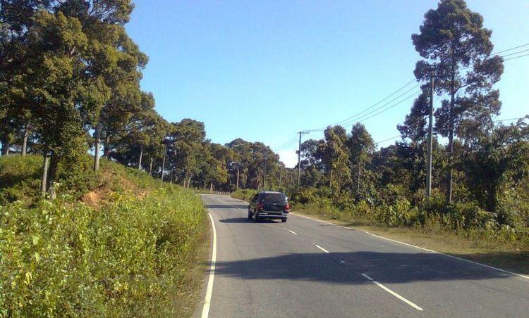
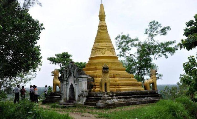
চকরিয়া প্রাকৃতিক সৌন্দর্য এবং জীববৈচিত্র্যে সমৃদ্ধ। এ অঞ্চলে মালুমঘাট বনাঞ্চলের কিছু অংশ এবং বিভিন্ন উপকূলীয় ও সামুদ্রিক বাস্তুতন্ত্র রয়েছে, যা পরিবেশগত সংরক্ষণের জন্য গুরুত্বপূর্ণ। মাতামুহুরী নদী, যা চকরিয়া দিয়ে প্রবাহিত হয়, স্থানীয় কৃষি ও মৎস্য শিল্পকে সহায়তা করার পাশাপাশি দৃশ্যমান সৌন্দর্য যোগ করে।
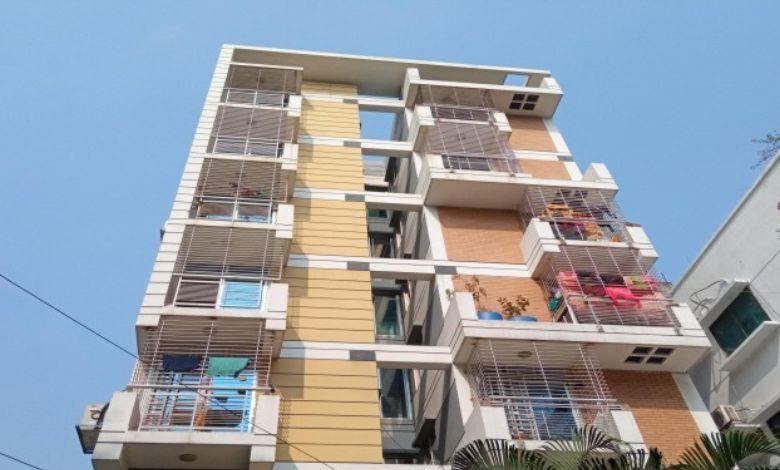
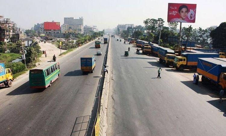
অবকাঠামোর দিক থেকে, সাম্প্রতিক বছরগুলোতে চকরিয়া উল্লেখযোগ্য উন্নয়নের সাক্ষী হয়েছে। শিক্ষাপ্রতিষ্ঠান, স্বাস্থ্যসেবা সুবিধা এবং উন্নত সড়ক নেটওয়ার্ক এর বৃদ্ধিতে অবদান রাখছে। এ উপজেলায় চকরিয়া উপজেলা স্বাস্থ্য কমপ্লেক্সসহ বিভিন্ন বেসরকারি সংস্থার উপস্থিতি রয়েছে, যা সম্প্রদায় উন্নয়নে কাজ করছে।
কৃষিজ উৎপাদনশীলতা, প্রাকৃতিক সৌন্দর্য এবং অবকাঠামোগত উন্নয়নের মিশ্রণ চকরিয়াকে কক্সবাজার জেলার একটি গুরুত্বপূর্ণ অংশ করে তুলেছে, যা অঞ্চলের সামগ্রিক সামাজিক-অর্থনৈতিক উন্নয়নে অবদান রাখছে।
সিটি ইনসাইট
পরিচিত ল্যান্ডমার্ক সমূহ
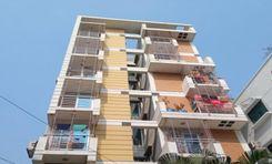
Fultola Residential Area
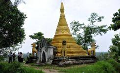
Adinath Temple Square

Alikadam Entrance Gate
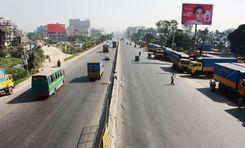
Akbar Shah Mor
সংযোগ
বাস রুট
কাছাকাছি রেলস্টেশন
নতুন উন্নয়ন
এখানে কি ভালো?
কোথায় উন্নয়ন প্রয়োজন?
প্রতিবেশী রেটিং
3.9


প্রতিবেশী রেটিং
3.9


