- ///
- নীলফামারী
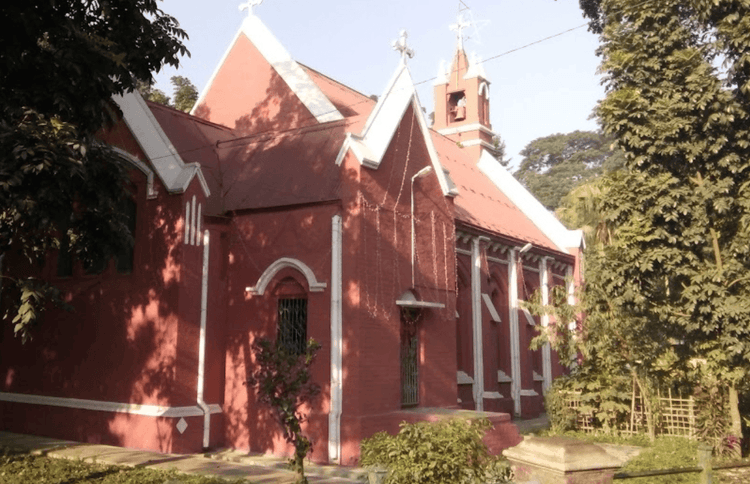
নীলফামারী, রংপুর
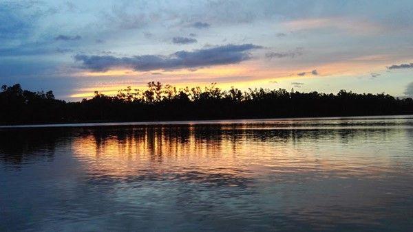
নীলফামারী জেলা বাংলাদেশের উত্তর-পশ্চিমে অবস্থিত একটি প্রশাসনিক এলাকা। ভারতের সাথে এর ৫০.৯০ কিলোমিটার সীমান্ত এলাকা রয়েছে। ভৌগোলিকভাবে, নীলফামারী উত্তরে ভারতের শিলিগুড়ি, দক্ষিণে দিনাজপুর ও রংপুর জেলা, পূর্বে রংপুর ও লালমনিরহাট জেলা এবং পশ্চিমে দিনাজপুর ও পঞ্চগড় জেলা দ্বারা বেষ্টিত। জেলার সবচেয়ে উল্লেখযোগ্য জলাশয় হল তিস্তা নদী।
নীলফামারী জেলার আয়তন ১,৬৪৩.৪০ বর্গকিলোমিটার এবং জনসংখ্যা ২০,৯২,৫৬৭ জন। এতে ৬টি উপজেলা, ৪টি পৌরসভা, ৬০টি ইউনিয়ন এবং ৩৭৮টি গ্রাম রয়েছে। এটি একটি বৈচিত্র্যময় জেলা যেখানে শহরতলির এবং গ্রামীণ উভয় জীবনধারা রয়েছে। নীলফামারীর জনসংখ্যার একটি বড় অংশ কৃষির উপর নির্ভর করে। তবে, অন্যান্য ব্যবসা, যেমন অকৃষি শ্রম, পরিষেবা এবং পরিবহন, অর্থনীতিতে গুরুত্বপূর্ণ ভূমিকা পালন করে।
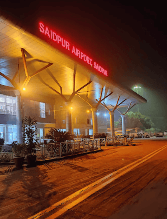
বছরের পর বছর ধরে জেলাজুড়ে ৪৭০ কিলোমিটার উন্নত রাস্তা তৈরির ফলে সড়ক ও যোগাযোগ ব্যবস্থাও সমৃদ্ধ হয়েছে। সড়কপথে জেলার আশেপাশে এবং বাইরে যাতায়াত অত্যন্ত সুবিধাজনক। মানুষ ট্রেনেও যাতায়াত করতে পারে, কারণ এখানে ৯টি রেলওয়ে স্টেশন রয়েছে। তার উপরে, নীলফামারীর সৈয়দপুর উপজেলায় একটি বিমানবন্দর রয়েছে।
মসজিদ, মন্দির, গির্জা, প্রাথমিক বিদ্যালয়, উচ্চ বিদ্যালয়, কলেজ এবং কারিগরি প্রতিষ্ঠান, নীলফামারী চমৎকার জীবনযাত্রার জন্য প্রয়োজনীয় সকল সুবিধা প্রদান করে। তবে, জলবায়ু পরিবর্তন এবং প্রাকৃতিক দুর্যোগ প্রতি বছরই রাস্তাঘাট এবং সম্পত্তির ক্ষতি করে। সাম্প্রতিক বছরগুলিতে উন্নত আবাসন এবং সুযোগ-সুবিধা বৃদ্ধি পেলেও, নীলফামারীতে এখনও দারিদ্র্যের মতো কিছু অসুবিধার রয়েই গেছে।
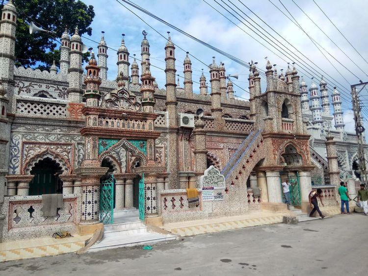
সবকিছু সত্ত্বেও, মানুষ এখনও প্রতি বছর নীলফামারীতে এর সুন্দর নিদর্শন এবং ঐতিহাসিক স্থানগুলি দেখার জন্য ভ্রমণ করতে পছন্দ করে। এখানকার জনপ্রিয় কিছু স্থান হল তিস্তা নদীর দৃশ্য, চিনি মসজিদ, সৈয়দপুর রেলওয়ে জাদুঘর, নীলসাগর দিঘি, নীল কুঠি ইত্যাদি।
সিটি ইনসাইট
পরিচিত ল্যান্ডমার্ক সমূহ

Saidpur Airport
Saidpur Christian Church of Bangladesh
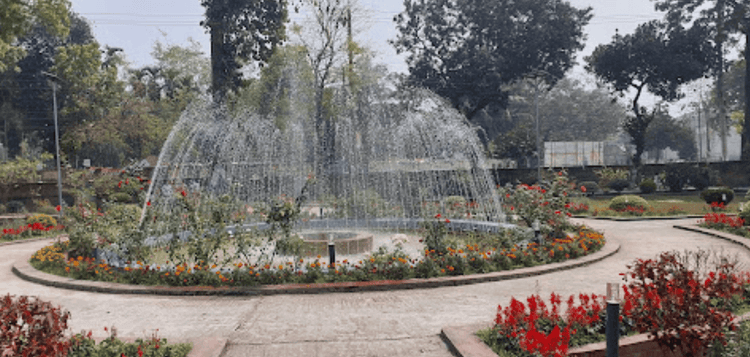
DC Garden Nilphamari
Nil Kuthi
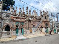
Chini Masjid
সংযোগ
বাস রুট
কাছাকাছি রেলস্টেশন
নতুন উন্নয়ন
এখানে কি ভালো?
কোথায় উন্নয়ন প্রয়োজন?
প্রতিবেশী রেটিং
3.5


প্রতিবেশী রেটিং
3.5


