- ///
- Bandarban


Bandarban, Chattogram
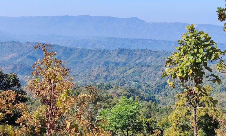
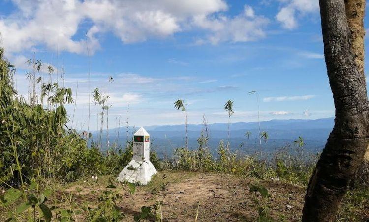
Bandarban is a district in southeastern Bangladesh, part of the Chittagong Hill Tracts. Covering an area of approximately 4,479.01 square kilometers, it is known for its picturesque landscapes, including hills, forests, and rivers. Bandarban is bordered by the Chittagong district to the west, Cox's Bazar district to the southwest, and the neighboring country of Myanmar to the southeast. The district's hilly terrain is home to the highest peaks in Bangladesh, including Tahjindong, Keokradong, and Mowdok Mual.
The district is rich in ethnic diversity, housing various indigenous communities such as the Marma, Chakma, Bawm, Tripura, and Mro. Each community has its own distinct culture, language, and traditions, contributing to the area's cultural mosaic. Bandarban town, the district headquarters, is a central hub for trade and tourism.
Bandarban's economy is primarily agrarian, with many locals engaged in farming and horticulture. The region is known for producing fruits like bananas, oranges, and pineapples, as well as spices such as ginger and turmeric. The handicraft industry, especially weaving, is also significant.
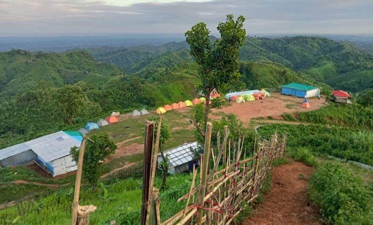
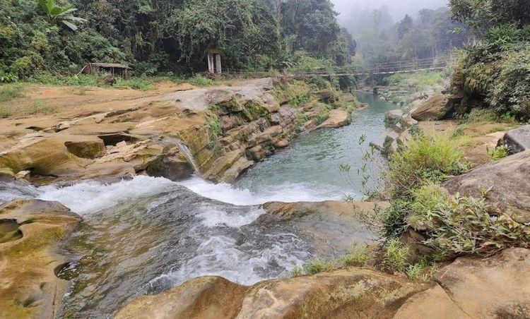
Tourism is a major economic driver for Bandarban, attracting visitors with its natural beauty and adventure opportunities. Popular tourist destinations include Boga Lake, Nafakhum Waterfall, and the Buddha Dhatu Jadi (Golden Temple). The district also offers trekking routes and cultural experiences with the indigenous communities.
Despite its natural and cultural wealth, Bandarban faces challenges such as infrastructure development and environmental conservation. Efforts are ongoing to improve road connectivity, healthcare, and education facilities, aiming to balance development with the preservation of the region's unique heritage and ecosystem.
City Insights
Known Landmarks

Lama Central Shahid Minar

3 Country Point

Tazing Dong Peak 2

Alikadam Entrance Gate

Nafakhum Tripura Para
Connectivity
Bus Routes
Nearest Train Stations
New Developments
What’s great here?
What needs attention?
Neighbourhood Rating
3.6


Neighbourhood Rating
3.6


