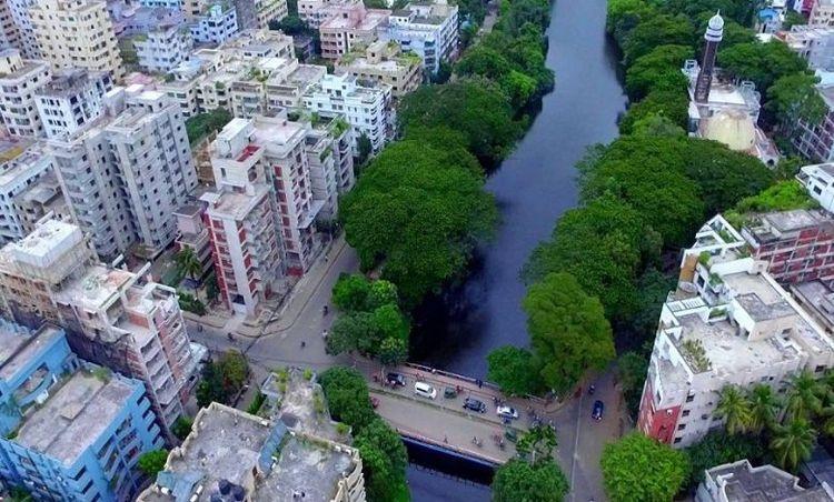
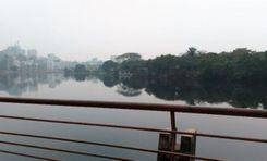
Feni is a district in the Chittagong Division, located in the southeastern part of Bangladesh. The city is an important center of trade and commerce due to its advanced communication system, and strategic location. The Muhuri and Feni rivers surround it. Khandal misti of this district is very famous. The climate here is humid, but the region receives a lot of rain during the monsoon season.<br><br>
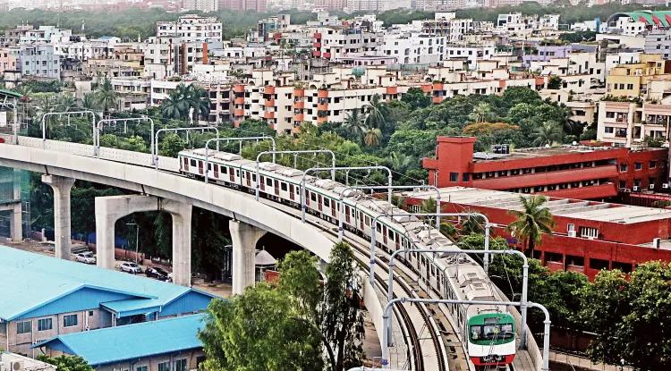
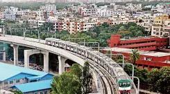
The district is bordered by Noakhali to the west, Chittagong to the east Comilla to the north, and Tripura state of India, Bay of Bengal to the south. This district is the only connecting road between Chittagong, Cox's Bazar, and the three hill districts of Rangamati, Bandarban, and Khagrachari. The district has a railway station which connects it with major cities.<br><br>
Feni gas fields have contributed greatly to the economy and employment of the entire country. The Dhaka-Chittagong transport corridor and the Chhagalnaya border have contributed greatly to the region's commercial activities and economy. The district is known for paddy, dal, betel nut, various fruits, and fish farming.<br><br>
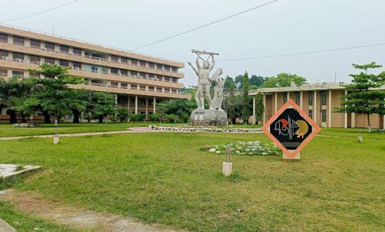
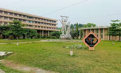
Although a relatively small district, it has many educational institutions. There are schools, colleges, polytechnic institutes, nursing institutes, youth development institutes, teacher training institutes, vocational institutes, and private medical colleges. The healthcare facilities here are also quite good.<br><br>
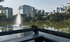
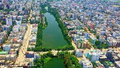
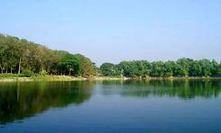
The district is named after the Feni River, which has enhanced the agriculture, fisheries, and scenic beauty of the district. It is a place rich in natural beauty, mineral resources, and culture. The district has several notable landmarks, including the Muhuri Project, the country's largest irrigation project, and the Vijay Singh Dighi, one of the largest historic ponds in the country.<br><br>
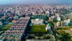
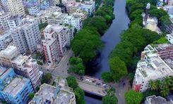
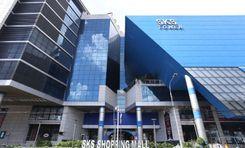
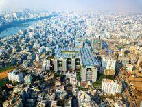
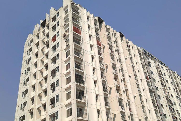
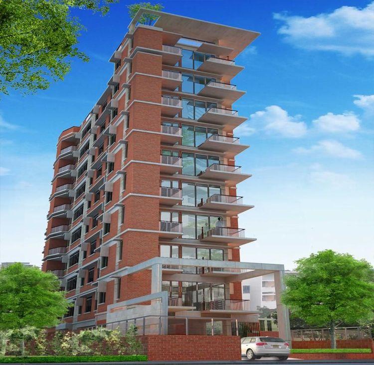
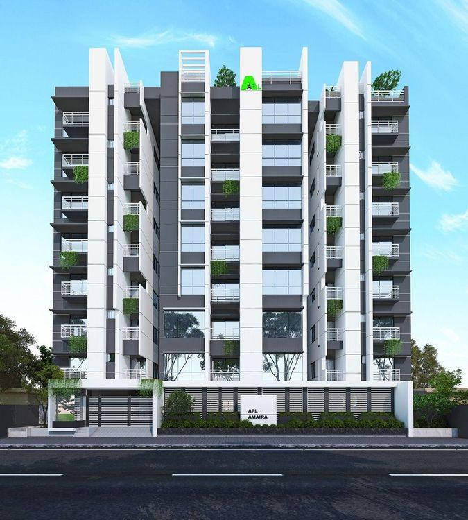
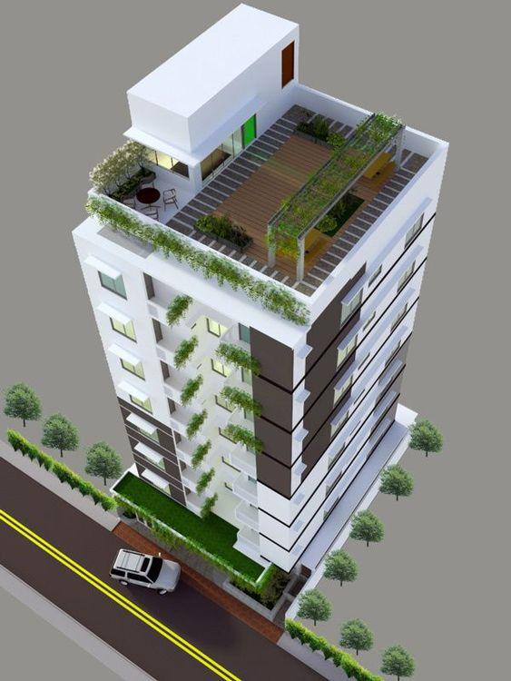
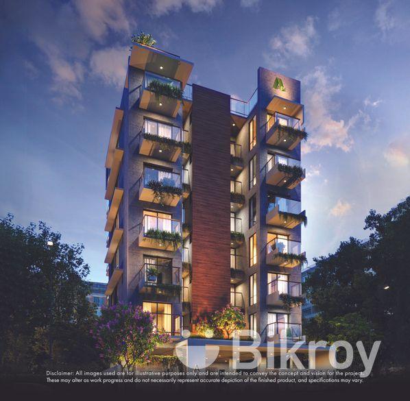
In recent years, the city has seen more industrial plants, planned residential buildings, and commercial expansion. Several small to medium-scale industries including rice mills, textile factories, food processing units, and fish breeding centers have developed here. However, the future development of Feni needs to focus on the construction of sustainable infrastructure, and a safe water and sewage system as per the plan.<br><br>
Feni is a district where you will find a remarkable blend of rural environment with modernization. But as Feni evolves, it faces the challenge of balancing sustainable development. Over the years, major improvements have been made to the communication system, housing projects, and boosting the local economy. However, this has resulted in environmental impacts such as deforestation, reduction of cropland, air pollution, etc.
View Insights