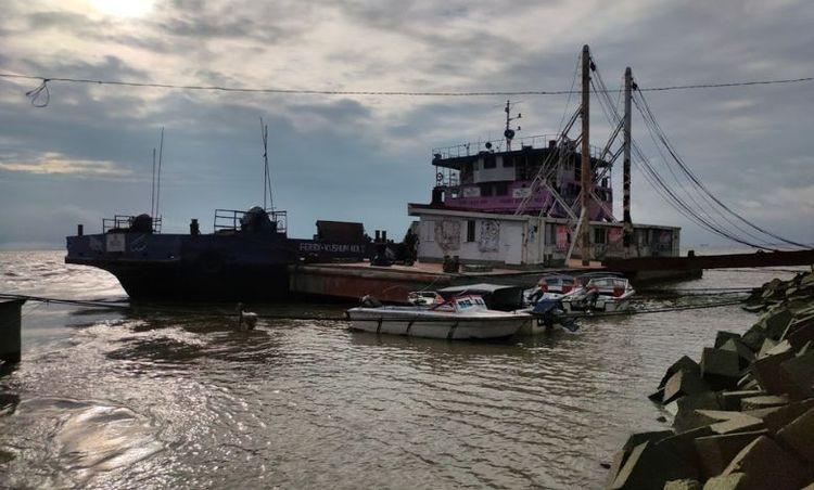
- ///
- Bhola
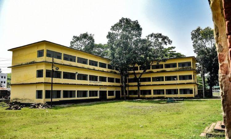
Bhola, Barishal
Bhola district is an official district in south-central Bangladesh. It comprises Bhola Island, Bangladesh’s biggest island. It is situated in the Barishal division and covers an area of 3,403.48 km2. It is flanked to the north by Lakshmipur and Barishal districts, to the south by the Bay of Bengal, to the east by Lakshmipur and Noakhali districts, the (lower) Meghna river, and the Shahbazpur Channel, and to the west by Patuakhali District and Tetulia River. Natural gas reserves of about 400 million cubic feet have been discovered in Kechia, Bhola, and are being utilized to fuel a power station.
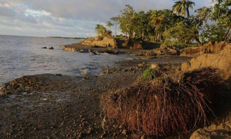
Bhola is a delta island. There are two rivers in this district: the Meghna and the Tetulia. Meghna is located on the district’s east and north sides, while Tetulia lies in the west. The Bay of Bengal is located south of Bhola district. There are seven islands in Bhola:
Bhola Island
Manpura Island
Dhal Char
Char Kukri Mukri
Char Jahiruddin
Char Nizam
Char Nazeur Rahaman
This district has five municipalities, 7 sub-districts, 10 thanas, 473 villages, and 70 unions.
Agriculture is the backbone of Bhola’s economy. The fishing industry is another vital economic sector, given Bhola’s proximity to the rivers and the Bay of Bengal. Besides, Bhola has a growing number of small industries, and the area has natural gas reserves. Bhola, Barishal, is a unique and important part of Bangladesh with a rich cultural heritage, abundant natural resources, and a resilient community.
City Insights
Known Landmarks
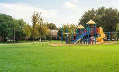
Shashibhushan Eco Park
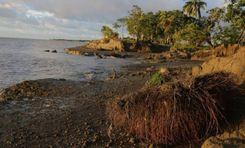
Monpura Island
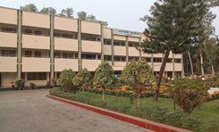
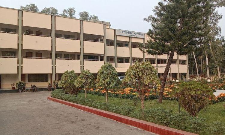
Bhola Circuit House
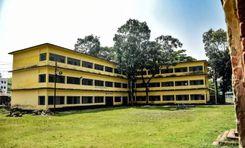
Bhola Govt High School
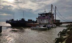
Elisha Ferry Ghat
Connectivity
Bus Routes
Nearest Train Stations
New Developments
What’s great here?
What needs attention?
Neighbourhood Rating
3.7


Neighbourhood Rating
3.7


