- ///
- Lalmonirhat
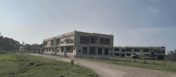
Lalmonirhat, Rangpur
Lalmonirhat is one of the notable northern districts of Bangladesh, located at the Bangladesh-India borderline. It was previously a mohakuma but was established as a district in 1984. Currently, with a land area of 1,247 square kilometers, Lalmpnirhat is an administrative area of the Rangpur Division.
The Lalmonirhat area guide shows that the district is bounded by Jalpaiguri and Kuchbihar of West Bengal in the north, the Rangpur District in the south, Kochbihar of West Bengal and Kurigram District in the east, and the Nilphamari and Rangpur Districts in the west. The length of the Bangladesh-India borderline in the district is about 282 kilometers.
The district's main rivers are Dharla and Teesta. According to the 2022 Census, the population is 14,28,406. The district's literacy rate is 71.18%, and it has around 1,000 educational institutions, including training centers. There are 2,450 mosques, 741 temples, 70 post offices, and 49 banks in Lalmonirhat.
Communication within the district is available with all types of transport. From Lalmonirhat, people can travel to almost all other districts by road. There are also railway facilities for communication, which benefit trades and businesses within and outside Bangladesh.
In 2023, Lalmonirhat was declared to be a landless and homeless-free district. Yet, many people lose home and lands due to floods almost every year.
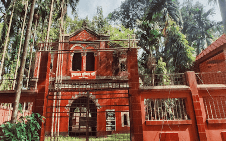
Nevertheless, Lalmonirhat is still one of the naturally beautiful areas. Some of its popular and notable landmarks are Kalibari Mosque and Temple, Teesta Barrage, Kakina Jomidar Bari, Tushbhandar Jamidar Bari, Mogolhat Port 0 Point, etc.
City Insights
Known Landmarks
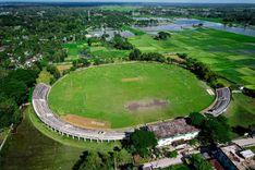
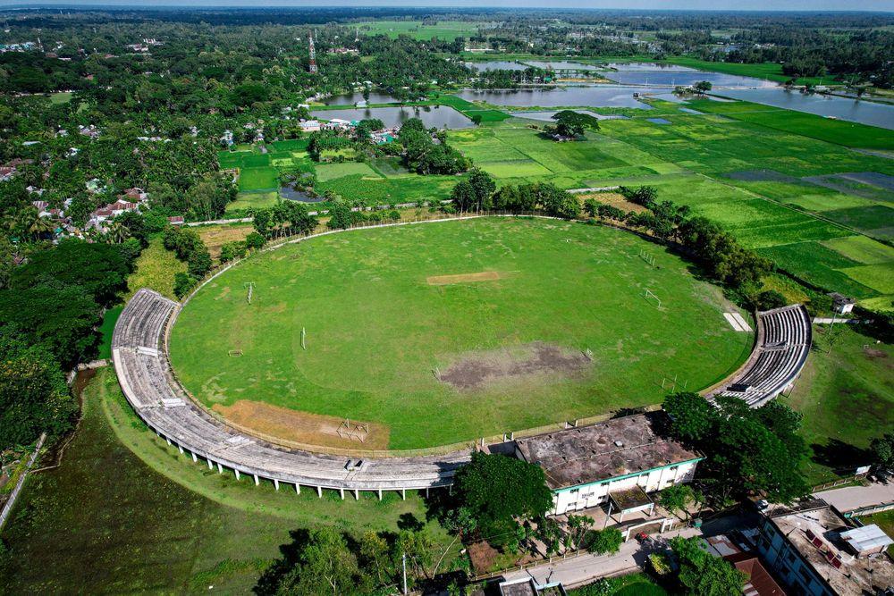
Lalmonirhat Stadium
Lalmonirhat Airport
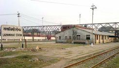
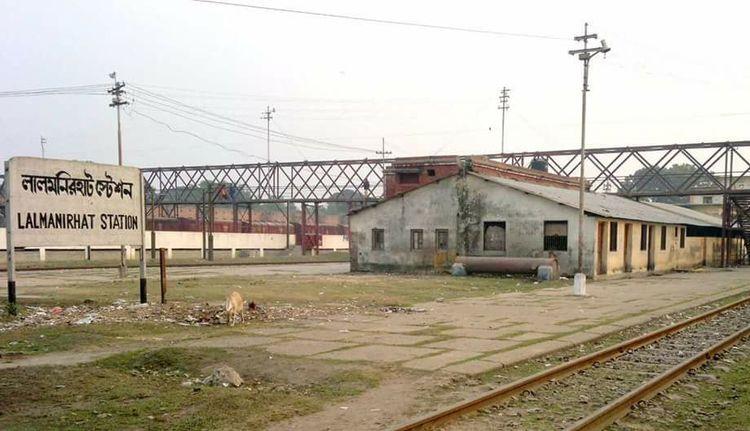
Lalmonirhat Railway Station
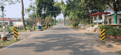
Tin Bigha Corridor
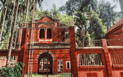
Tushbhandar Jamidar Bari
Connectivity
Bus Routes
Nearest Train Stations
New Developments
What’s great here?
What needs attention?
Neighbourhood Rating
3.6


Neighbourhood Rating
3.6


