- ///
- Rangamati
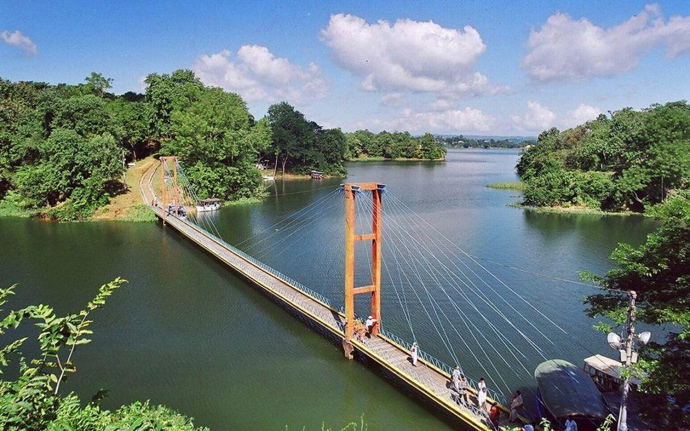
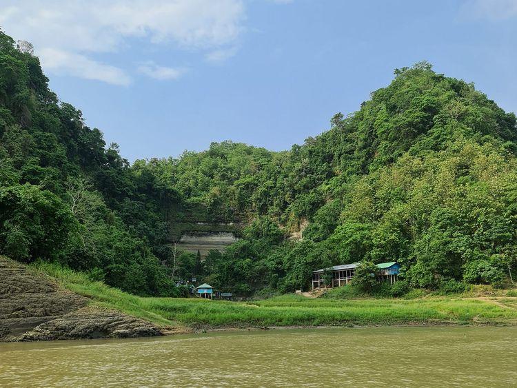
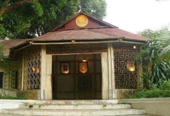

Rangamati, Chattogram
Rangamati is situated in the Chittagong Division. It is bounded by the Tripura state of India to the north, Bandarban District to the south, Mizoram State of India and Chin State of Myanmar to the east, and Khagrachari and Chittagong Districts to the west. Rangamati is Bangladesh's only district that has international boundaries with two countries, India and Myanmar.
Rangamati was a battleground for the monarchs of Tripura and Arakan. Prior to the arrival of the East India Company, it was known as Reang/Riang County. Following the Muslim conquest in 1566, the Mughal Empire annexed this territory.[6] In 1737, tribal chieftain Sher Mosta Khan sought sanctuary with the Mughals. Following this, the Chakma village began, as did several other communities of other ethnicities. The East India Company leased this area between 1760 and 1761.
After the independence of Bangladesh, our government took great care in curating this district into a tourist attraction and they’ve successfully done it, we must say. Rangamati now attracts tourists from in and out of Bangladesh round the year. It has attractive tourist spots like the Kaptai Lake, the Hanging Bridge, the Kaptai National Park, Shuvolong Waterfalls and Sajek Valley etc.
Other than the tourist spots, Rangamati is highly dependent on agriculture for its economy. Most of the people of this region are directly or indirectly connected with agriculture for their livelihood.
City Insights
Known Landmarks
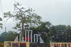
Rangamati Central Shahid Minar
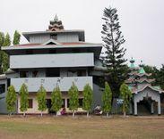
Rajban Vihar

Love Point
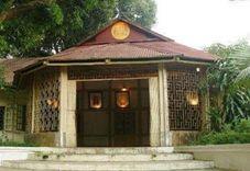
Chakma Rajbari
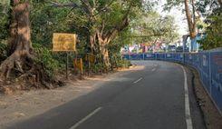
Rangamati Zero Point
Connectivity
Bus Routes
Nearest Train Stations
New Developments
What’s great here?
What needs attention?
Neighbourhood Rating
3.5


Neighbourhood Rating
3.5


