- ///
- Chapainawabganj
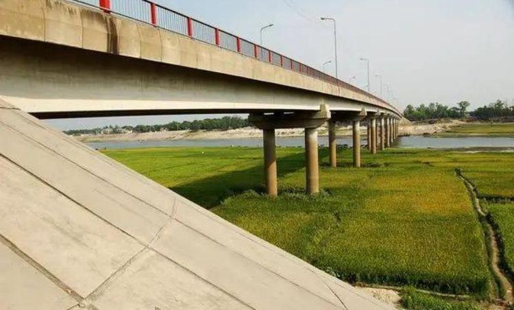
Chapainawabganj, Rajshahi
Chapainawabganj is a famous district of Bangladesh that is located in the north-western part of our country and a part of the Rajshahi division. It was formerly a part of the Malda district of the now-known India before the partition in 1947. So, some other districts of the former Bengal province are located very close to Chapainawabganj. The north and west part of Chapainawabganj is connected by the Malda and Murshidabad districts of India. The east is bordered by the Naogaon district and the south-east by the Rajshahi district.
Chapai Nawabganj was a region of Gour's old capital. This place is claimed to have tactical and economic significance due to its position at the confluence of the Mahananda and Ganges rivers. Because of its prominence, Alivardi Khan created Nowabganj, which later became known as Nawabganj. Before 1947, Nawabganj served as a thana in Malda District, India.
Chapainawabganj District covers an area of 1702.55 km2. This region is crossed by several rivers. The main streams are the Ganges and the Mahananda.
The majority of the terrain in this area is plain, with several minor lakes and water reservoirs. However, the landscape has lately changed owing to erosion caused by the Padma River. The Farakka barrage's sediment overload undermined the river banks, resulting in a huge stretch of sand that resembles a tiny desert. Four to five tiny union parishads, including Narayonpur, Joharpur, Sundarpur, and Bagdanga, have moved to the opposite side of the Padma River.
Chapainawabganj is known as Bangladesh's mango capital since this summer fruit is the primary source of income for the district. The majority of this district's land is covered with mango orchards, which produce a variety of mangos. Mango production is crucial to the district's economy. Shibganj, Bholahat, and Gamostapur upazilas account for the majority of mango output.
City Insights
Known Landmarks
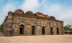
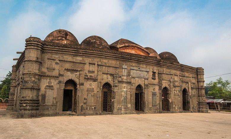
Choto Sona Masjid
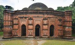
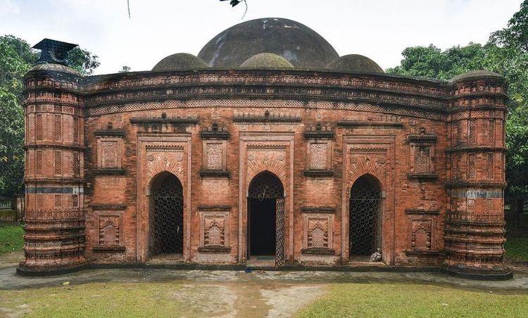
Khania Dighi Mosque
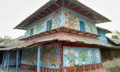
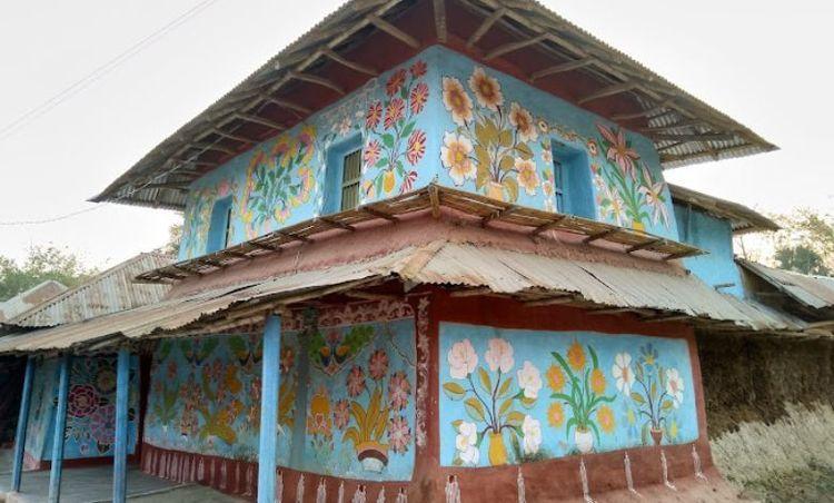
The Alpana Village
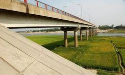
Mahananda Bridge
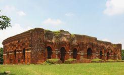
Darashbari Masjid
Connectivity
Bus Routes
Nearest Train Stations
New Developments
What’s great here?
What needs attention?
Neighbourhood Rating
3.4


Neighbourhood Rating
3.4


