- ///
- গংগাচড়া
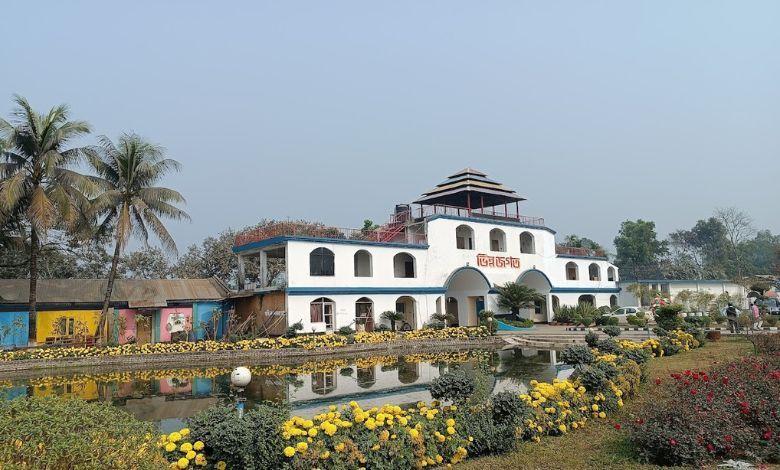
গংগাচড়া, রংপুর
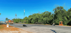
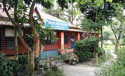
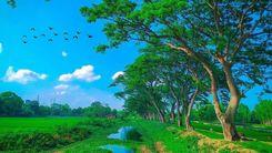
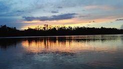
রংপুর, যা বাংলাদেশের একটি সুপরিচিত জেলা, এই জেলাতে ৮ টি উপজেলা রয়েছে। এর মধ্যে একটি হলো গঙ্গাচড়া, যা জেলার উত্তর-পশ্চিম অংশে অবস্থিত। এটি তিস্তা নদীর নিকটে রংপুর সদর থেকে প্রায় ১০.২ কিলোমিটার দূরে। উত্তরে নদী থাকায় এটি এই উপজেলাটিতে একটি গ্রীষ্মমন্ডলীয় পরিবেশ দেয়। এজন্য অনেকে গঙ্গাচড়া অঞ্চল গাইডটি পরীক্ষা করে দেখেন।
গঙ্গাচড়া একসময় রংপুরের একটি ছোট অঞ্চল ছিল। কথিত আছে যে গঙ্গাচড়া থানা ১৯০৮ বা ১৯১০ সালে গঠিত হয়েছিল, তবে কিছু নথি দেখায় যে এটি ১৯১৭ সালে প্রতিষ্ঠিত হয়েছিল। পরে, এটি ১৯৮৪ সালে একটি উপজেলা এবং ২০১১ সালে একটি মডেল থানায় উন্নীত করা হয়েছিল।
গঙ্গাচড়া উপজেলায় জমির আয়তন ২৬৯.৬৯ বর্গকিলোমিটার এবং জনসংখ্যা প্রায় ২,৮৬,৭৩০ (২০২২ আদমশুমারি)। এটিতে ৯ টি ইউনিয়ন, ৮৭ টি মৌজা এবং ১২৩ টি গ্রাম রয়েছে। সম্প্রতি অবধি, এই অঞ্চলের লোকেরা ব্রিটিশ এবং জমিদারদের নিয়ম অনুসারে বাস করত। তবে সময়ের সাথে সাথে মানুষের জীবনধারা পরিবর্তিত হয়েছে।
বর্তমানে গঙ্গাচড়ার মানুষ কৃষি, মৃৎশিল্প, শিল্প, অ-কৃষি শ্রম, বাণিজ্য ও যোগাযোগের ওপর নির্ভরশীল। তদুপরি, উপজেলাটিতে বেশ কয়েকটি বেনারশি পল্লী রয়েছে এবং এই উপজেলা থেকে শাড়িগুলি সারা দেশে বিক্রি হয়।
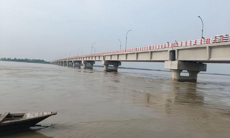
অর্থনীতির পাশাপাশি সাম্প্রতিক বছরগুলোতে যোগাযোগ ব্যবস্থারও উন্নতি হয়েছে। রাস্তা দিয়ে বিভিন্ন স্থান সহ বাণিজ্য তৈরি করার ক্ষেত্রে নদীগুলি গুরুত্বপূর্ণ ভূমিকা পালন করে। গঙ্গাচড়া গ্রামগুলি উপজেলা সদরের সাথে সংযুক্ত এবং সেখান থেকে সড়কপথে রংপুর সিটিতেও ভালোভাবে সংযুক্ত। এলাকাটিতে একাধিক সেতু রয়েছে, যার মধ্যে তিস্তা নদীর ওপর গঙ্গাচড়া সেতু অন্যতম।
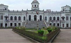
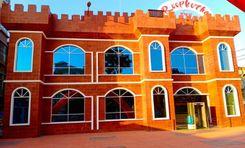
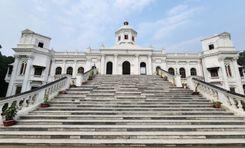
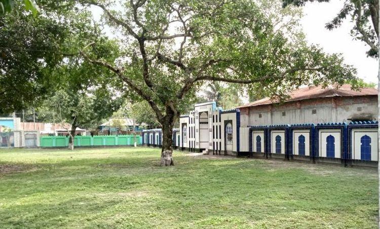
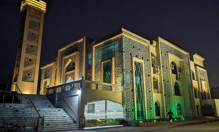
উপজেলাটিতে বেশ কয়েকটি প্রাচীন এবং উল্লেখযোগ্য ল্যান্ডমার্ক রয়েছে, যেমন কুঠিপাড়া নীল কুঠি, মহিপুর জমিদার বাড়ির অবশেষ, ম্যান্ডরাইন পাখি জামে মসজিদ, ভিন্ন জগৎ বিনোদন পার্ক ইত্যাদি।
সিটি ইনসাইট
পরিচিত ল্যান্ডমার্ক সমূহ
Vinnya Jagat Amusement Park
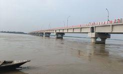
Gangachara Bridge
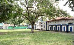
Gangachara Central Eidgah
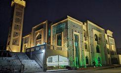
Gangachara Model Mosque
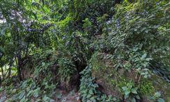
Kuthipara Neel Kuthi
সংযোগ
বাস রুট
নতুন উন্নয়ন
এখানে কি ভালো?
কোথায় উন্নয়ন প্রয়োজন?
প্রতিবেশী রেটিং
3.4


প্রতিবেশী রেটিং
3.4


