- ///
- Amtala
Amtala, Barishal
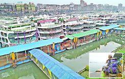
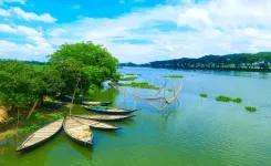
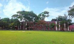
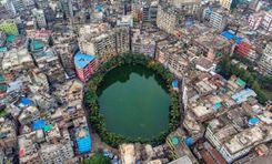
Amtala is an important commercial, economic, and residential area in Nazirpur Sadar Union of Barisal District. This area, surrounded by roads and waterways, is also important for transportation. Kaliganga River and Balaswar River flow through this area. The location is well known for the production and transportation of agricultural products. Although it is crowded with raw markets, educational institutions, government offices, banks, and various private institutions, the picturesque riverside rural landscape adds to the charm of the area. Barisal district is also known for its riverine environment, natural beauty, and rich cultural heritage. Many people call Barisal the "Venice of the East".
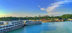
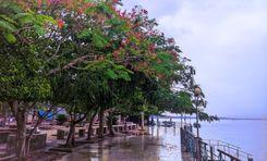
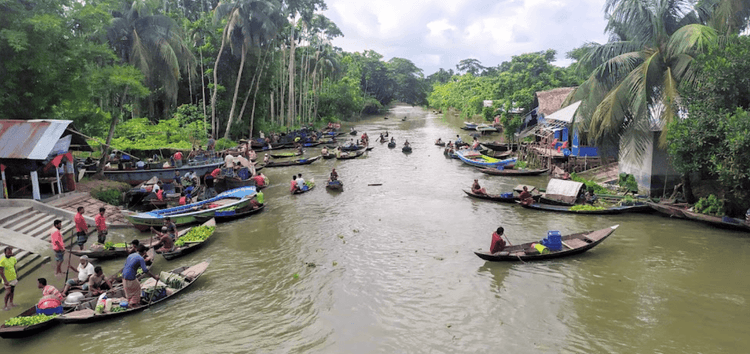
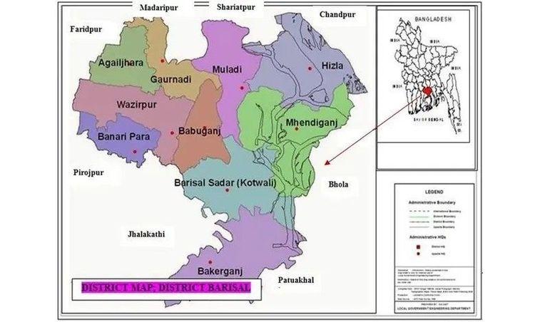
Amtala area is located in the southern part of Bangladesh in Barisal district. To the east of this area are Bhola, and Jhalkathi districts. Khulna and Bagerhat districts on the West. Gopalganj and Madaripur districts in the North. To the South are the districts of Pirojpur, Patuakhali, and Barguna. Gopalganj-Tungipara-Nazirpur-Pirojpur highway road connects this area with almost all the important district towns of the country. Being an area surrounded by rivers, many people use waterways for the transportation of goods and communication.
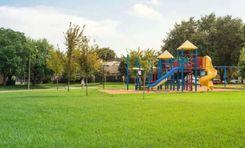
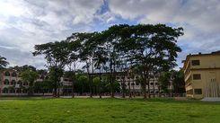
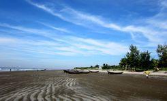
The economy of Amtala is mainly based on agriculture. Local agricultural produce includes paddy, jute, and various fruits and vegetables. Fishing is also an important part of the local economy. Local people here are involved in agriculture, fishing, and transportation-based occupations. In and around the area there are excellent schools, health care centers, and recreational centers. The area is known for its river system, green environment, and significant agricultural activity.
Due to the important economic area and advanced communication system, continuous efforts to improve the infrastructure and living conditions of this area are noteworthy. Government development projects are constantly working to improve transport, education, and healthcare facilities. Being a riverine area, Amtala is prone to floods, affecting agriculture, infrastructure, and daily life.
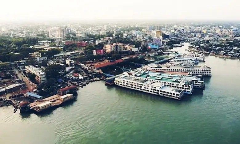
The Amtala area has accommodations ranging from mid-range hotels to top-class accommodations. The business network in the area is very extensive. Bus stand, port terminal, and airport are located very close to this area. Finally, the Amtala area is quite suitable for residential and commercial activities. But the overall quality is not as good as in urban areas.
City Insights
Known Landmarks
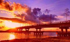
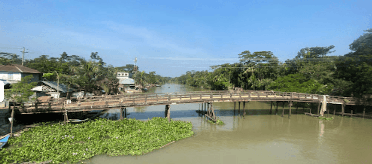
Satkasima Bridge

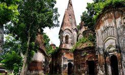
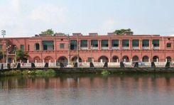
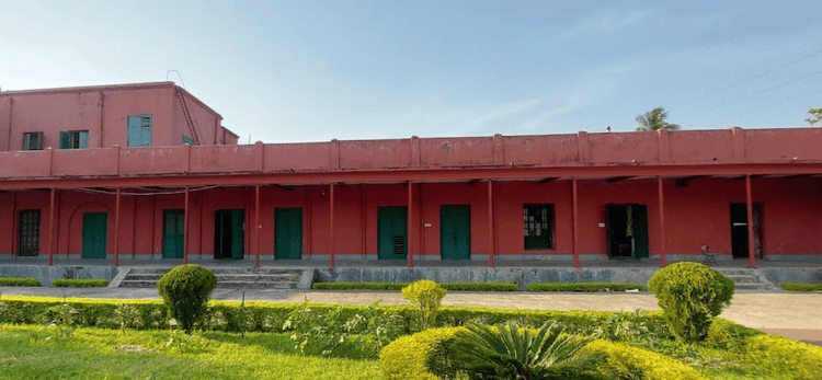
Barishal Divisional Museum

Vashoman Peyara Bazar
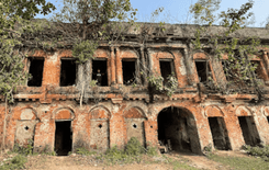
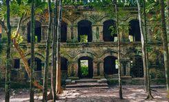
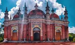
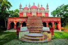
Lakutiya Zamindar Bari
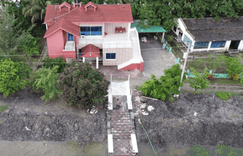
Joy Hatchery and Resort
Connectivity
Bus Routes
Nearest Train Stations
New Developments
What’s great here?
What needs attention?
Neighbourhood Rating
3.8

Neighbourhood Rating
3.8