- ///
- দীঘালিয়া
দীঘালিয়া, খুলনা
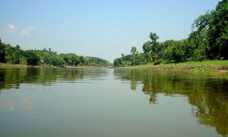
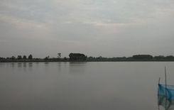
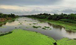
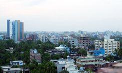
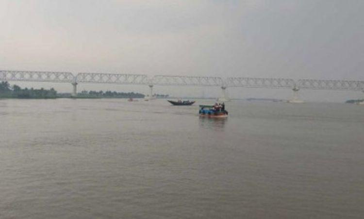
খুলনা জেলার একটি অংশ, যা বিভিন্ন নদীর মাধ্যমে একাধিক ভূমি এলাকায় বিভক্ত, সেটি হলো দিঘলিয়া উপজেলা। এর নামের সার্থকতার প্রমাণ হিসেবে, উপজেলাটি ভৈরব নদী, ইছামতি নদী, আত্রাই নদী এবং মজুদখালী নদীর মতো বিভিন্ন জলাশয়ে ঘেরা। আজকের দিঘলিয়া এলাকা গাইডে, আমরা উপজেলাটির সৌন্দর্য, ভূখণ্ড এবং পরিবেশ অন্বেষণ করব।
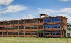
দিঘলিয়া উপজেলা ১৯৮৩ সালে প্রতিষ্ঠিত হয় এবং এর ভূমি এলাকা ৮৬.৫২ বর্গকিলোমিটার। উপজেলায় ৬টি ইউনিয়ন রয়েছে এবং জনসংখ্যা প্রায় ১,১৫,৫৮৫ জন। উপজেলাটির সাক্ষরতার হার ৫৫.৬৪% এবং এখানে ৭০টিরও বেশি শিক্ষাপ্রতিষ্ঠান রয়েছে। অর্থনীতির একটি বড় অংশ কৃষির উপর নির্ভরশীল হলেও, মৎস্য, আম ও সবজি চাষ, পাট এবং চালকল ইত্যাদিও অর্থনীতিতে গুরুত্বপূর্ণ ভূমিকা পালন করে।
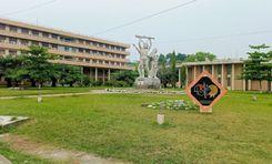
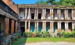
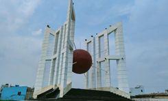
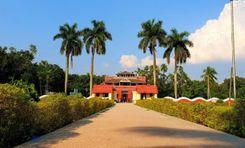
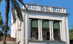
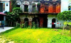
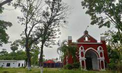
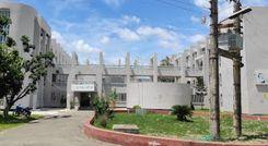
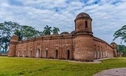
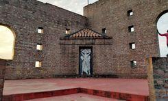
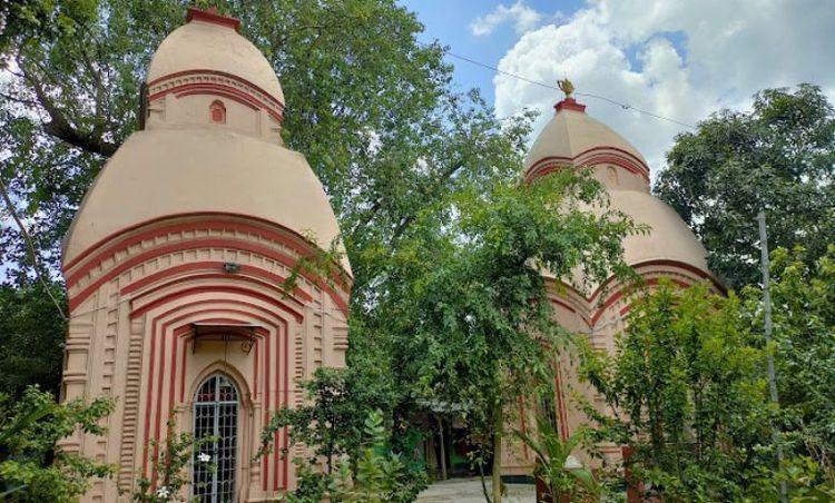
দেয়াড়া গ্রাম ১৯৭১ সালের মুক্তিযুদ্ধের একটি বেদনাময় ইতিহাস বহন করে, যেখানে গণহত্যার ঘটনা ঘটে। এই এলাকা সেনহাটি শিব মন্দির, কাটানীপাড়া শিব মন্দির, কবি কৃষ্ণচন্দ্র ইনস্টিটিউট প্রভৃতি উল্লেখযোগ্য স্থাপত্যের জন্যও পরিচিত।
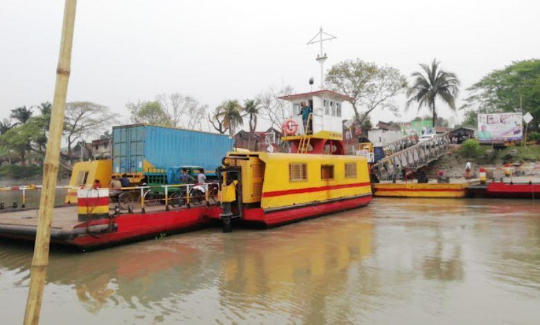
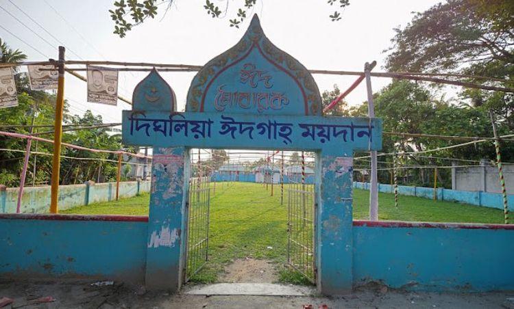
অন্যান্য উল্লেখযোগ্য স্থাপনা এবং প্রতিষ্ঠানগুলির মধ্যে রয়েছে দিঘলিয়া থানা, দিঘলিয়া ঈদগাহ, দিঘলিয়া ফেরি টার্মিনাল, ভৈরব নদী, চিত্রা নদী ইত্যাদি। অনেকেই সেনহাটি মাধ্যমিক বিদ্যালয়ের পেছনের মৃৎশিল্প এলাকার দর্শন করতে পছন্দ করেন।
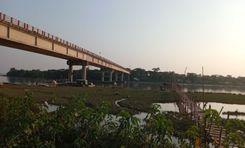
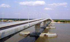
যাতায়াত এবং পরিবহন ব্যবস্থার ক্ষেত্রে কিছু সীমাবদ্ধতা রয়েছে, কারণ এলাকাটি নদী দ্বারা বেষ্টিত। এলাকাটির অভ্যন্তরে মানুষ রিকশা, ভ্যান, বাইক এবং অন্যান্য ছোট যানবাহন ব্যবহার করে। তবে, দিঘলিয়া থেকে খুলনার অন্য যেকোনো স্থানে যেতে নৌকা ও ফেরিই একমাত্র পরিবহন মাধ্যম, কারণ এখানে কোনো সেতু নেই।
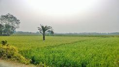
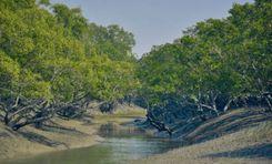
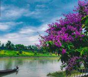
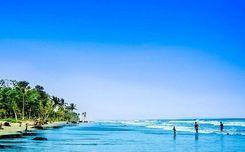
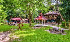
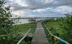
তবে, এই উপজেলার একটি ইতিবাচক দিক হলো এর সৌন্দর্য এবং শান্ত পরিবেশ। রাস্তার দুই পাশে বেশিরভাগ জায়গায় গাছ, সবুজ খোলা মাঠ, কৃষিজমি এবং নদী দেখা যায়, যা মুহূর্তেই মন ভালো করে দেয়।
সিটি ইনসাইট
পরিচিত ল্যান্ডমার্ক সমূহ
Dighalia Ferry Terminal
Kobi Krishna Chandra Institute
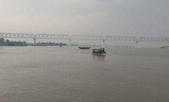
Rupsha River
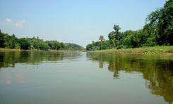
Chitra River
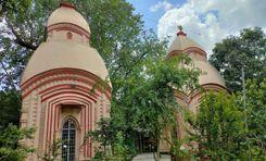
Katanipara Shiva Temple
সংযোগ
বাস রুট
কাছাকাছি রেলস্টেশন
নতুন উন্নয়ন
এখানে কি ভালো?
কোথায় উন্নয়ন প্রয়োজন?
প্রতিবেশী রেটিং
3.4


প্রতিবেশী রেটিং
3.4


