- ///
- Dhamrai

Dhamrai, Dhaka
Did you know that the Dhamrai Upazilla (sub-district) is the largest Upazilla in Dhaka district by land area? If you didn’t, our Dhamrai area guide will give you all the information you need.
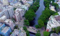
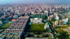
Dhamrai was part of the Savar Thana during British rule in 1914. Later, in 1947, it was established as a separate Thana and put under the Dhaka district. The area is located about 40 km northwest of the city, and the Dhaka-Aricha Highway passes through it. At least 4,96,249 people are living in the area, which makes it densely populated.
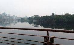
The area is bounded by Mirzapur, Kaliakair, Singair, Savar Upazillas, etc. Moreover, you can see part of the Dhaleshwari River from various locations in the area. Moreover, the area is composed of alluvium soil of the Dhaleshwari and Bongshi rivers.
Since the area is located near the Dhaka-Aricha Highway, it offers access to communication inside and outside the Dhaka district. Using public transportation is the best way to get there, but many people rely on local transport as well.
It is also a suitable area for living for anyone who wants to settle outside the main city. Along with land, housing projects are also available in the area. Moreover, renting apartments and living costs are more affordable than in the city. There are over 300 educational institutions, including schools, colleges, universities, madrasas, and over 100 NGO schools.
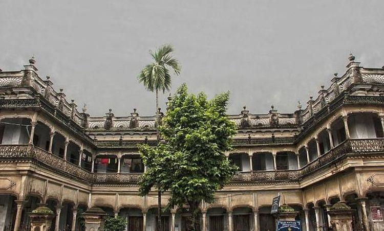
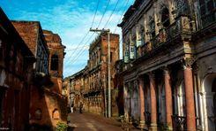
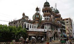
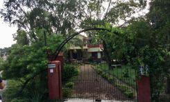
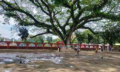
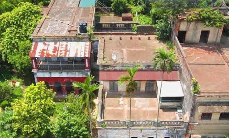
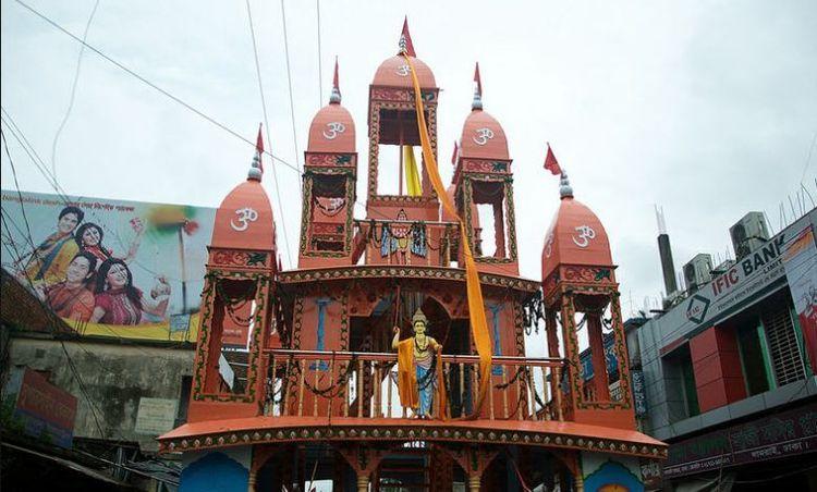
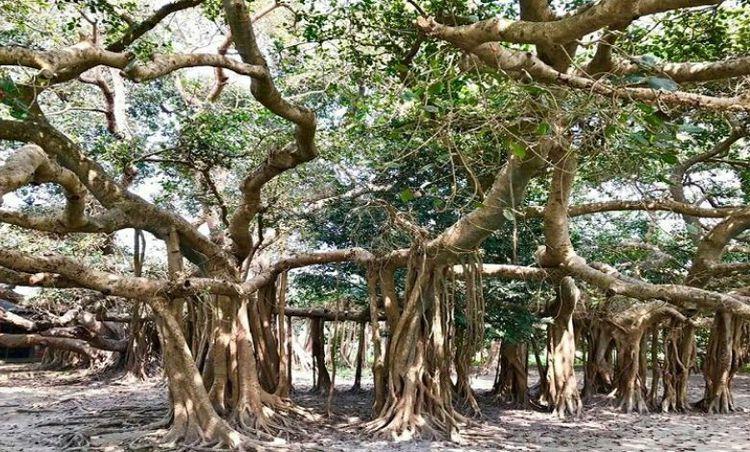
Dhamrai is also a tourist attraction due to its historical landmarks and significance. Some of the known locations are Balai Jamidar House, Madhab Mondir, Shaitta Banyan Tree, and more.
The annual Dhamrai Rath is quite famous in the area. Sukanta Dhamrai Metal Crafts is also known for being the primary metal hub in Bangladesh.
City Insights
Known Landmarks
Balai Jamidar House
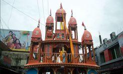
Madhab Mondir
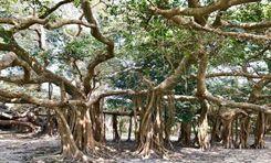
Shaitta Banyan Tree
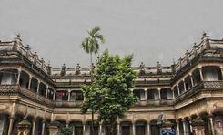
Sukanta Dhamrai Metal Crafts
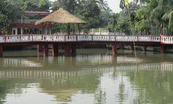
Mohishashi Mohammadi Garden
Connectivity
Bus Routes
New Developments
What’s great here?
What needs attention?
Neighbourhood Rating
3.6


Neighbourhood Rating
3.6


