- ///
- Anwara


Anwara, Chattogram
The Anwara Upazila is located 24 kilometers opposite the Chattogram Metropolitan City, southeast of the Karnaphuli River and the coast of the Bay of Bengal. The Upazila is bounded by Patiya Upazila, Bashkhali Upazila, Chandanaish Upazila, Chattogram Port, and the Bay of Bengal. This shows how important the Anwara area guide is!
Anwara was formed as a Thana in 1876. However, in 1983, it was established as an Upazila. Now, it has 11 unions, 80 mouzas, 81 villages, and 99 wards. The land area of Anwara Upazila is 164.13 square kilometers, and the current population is over 2,59,000.
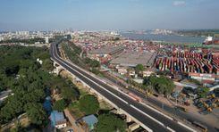
The Anwara Upazila’s locations near the riverside areas have been established as industrial zones with many export processing zones and factories. These include the Korean Export Processing Zone (KEPZ), China Export Processing Zone (CEPZ), Chittagong Urea Fertilizer Limited (CUFL), Karnaphuli Fertilizer Company Ltd (KAFCO), etc.
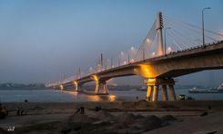
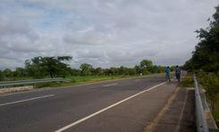
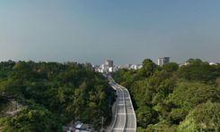
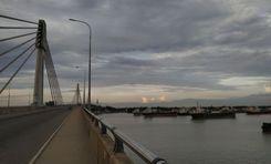
The construction of the Bangabandhu Tunnel has connected Anwara and other locations and established business routes that have positively affected the country’s economy. Anwara is also another important route of travel or transport of goods to Cox’s Bazar and the port area connected by the Shah Amanat Bridge.
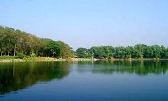
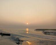
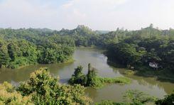
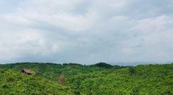
The natural and beautiful landscape around the Upazila is not far from the industrial and economic area. One of the popular sites in Anwara is Parki Beach and the resorts. People can also enjoy the scenery of the Bay of Bengal, Karnaphuli River, and Sangu River from various locations in Anwara.
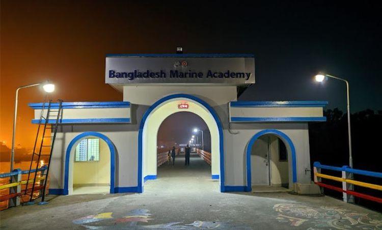
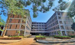
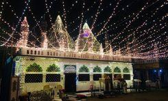
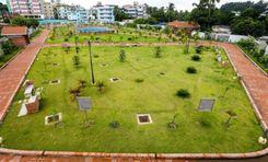
Other notable locations include Anwara Hilltop Park, Menna Park, Kala Bibir Dighi, Hazrat Shah Mohsen Aulia (R:) Mazar Sharif, Bangladesh Marine Academy, and Norman's Point Lighthouse. Along with many educational institutions, Anwara Upazila has over 350 mosques, 83 Hindu Temples, 13 banks, 20 post offices, 52 cyclone centers, and an Upazila health complex.
City Insights
Known Landmarks
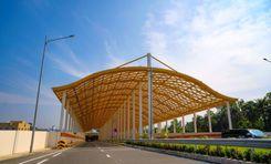
Bangabandhu Tunnel
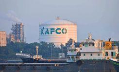
Karnaphuli Fertilizer Company Ltd (KAFCO)
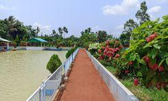
Menna Park
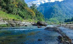
Sangu River
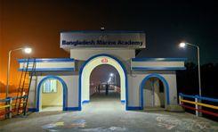
Bangladesh Marine Academy
Connectivity
Bus Routes
Nearest Train Stations
New Developments
What’s great here?
What needs attention?
Neighbourhood Rating
3.6


Neighbourhood Rating
3.6


