- ///
- Dighalia


Dighalia, Khulna
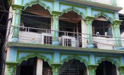
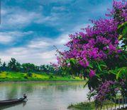
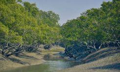
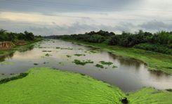
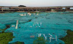
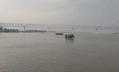
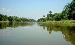
One of the parts of the Khulna District that are divided into multiple land areas by various rivers is the Dighalia Upazila. True to its name, the upazila is surrounded by several water bodies, such as the Bhairab River, Ichamoti River, Atrai River, and the Majudkhali River. In today’s Dighalia area guide, we will explore the beauty, territory, and environment of the upazila.
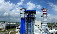
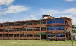
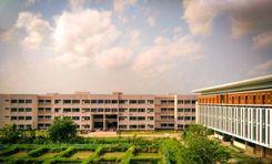
The Dighalia Upazila, established in 1983, has a land area of 86.52 square kilometers. It has 6 unions and a population of about 1,15,585. The literacy rate of the upazila is 55.64%, and it has over 70 educational institutes. While a large part of the economy depends on agriculture, fisheries, mango and vegetable cultivation, jute and rice mills, etc., also play a role in the economy.
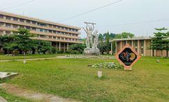
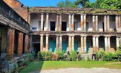
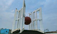
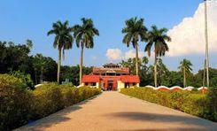
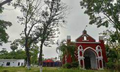
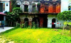
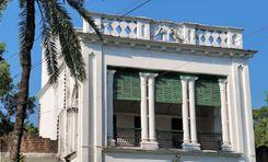
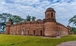
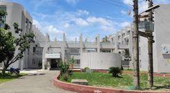
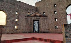
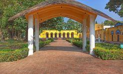
The Deara village has a scarred history from the 1971 Liberation War, during which mass murder occurred. The area is also known for other notable architects, such as the Shenhati Shiva Temple, Katanipara Shiva Temple, Kobi Krishna Chandra Institute, etc.
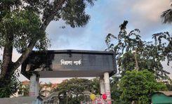
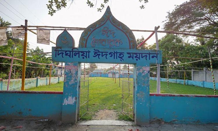
Other notable landmarks and institutes include Dighalia Police Station, Dighalia Eidgah, Dighalia Ferry Terminal, Bhairab River, Chitra River, etc. Many people also like to visit the Pottery Industry area behind the Sentati Secondary School.
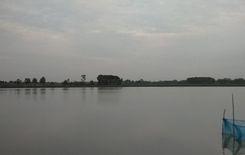
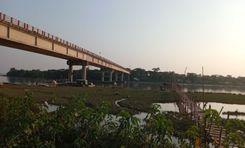
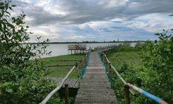
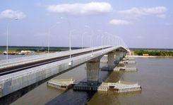
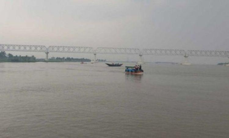
When it comes to transportation and commuting, there are certain limitations, as the area is bound by rivers. People use rickshaws, vans, bikes, and other mini-transports inside the area. However, if you want to travel to any other part of Khulna from Dighalia, boats, and ferries are the only means of transport as there are no bridges.
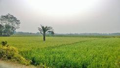
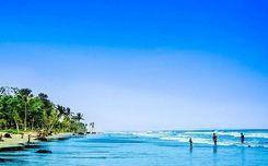
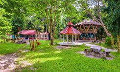
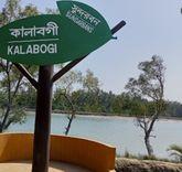
However, one of the good things about this upazila is its beauty and tranquility. The sides of the roads are mostly filled with trees, green open fields, farmlands, and rivers, which are instant mood-boosters.
City Insights
Known Landmarks
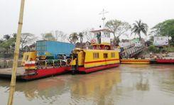
Dighalia Ferry Terminal
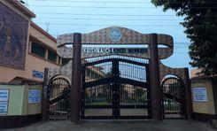
Kobi Krishna Chandra Institute
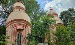
Katanipara Shiva Temple
Rupsha River
Chitra River
Connectivity
Bus Routes
Nearest Train Stations
New Developments
What’s great here?
What needs attention?
Neighbourhood Rating
3.4

Neighbourhood Rating
3.4