If you are tired of urban and chaotic city life and looking for a way to get rid of the monotonous routine for some time, a trip to Mirsharai of the Chattogram District might be just what you need. Not only is this area known for its awe-striking hill tract side areas, lakes, waterfalls, or forest areas, but it is also known as an area to live a quiet life far from city life. So, if you are curious to learn more, this Mirsarai area guide will certainly help you.<br><br>
The Mirsharai Upazila was established as a Thana in 1917 but was established as an Upazila in 1983. Its 482.89 square kilometer land area is bounded by Chagalnaiya and Feni Upazila and Tripura State of India on the North, Sitakunda Upazila and the Bay of Bengal’s Sandwip channel on the South, Fatikchari Upazila on the East, and Noakhali’s Companigonj Upazila and Sonagazi Upazila on the West. The 2 major water bodies that surround the Upazila are the Feni River and the Muhuri River.<br><br>
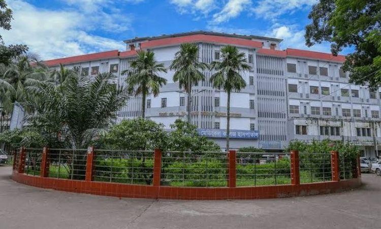
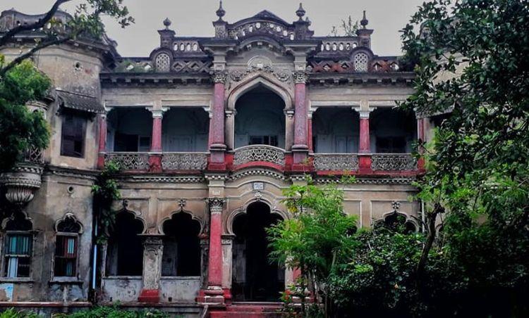
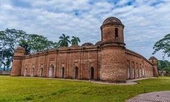
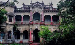
Its historical and other beautiful landmarks attract people most to this area. It has 5 mass murder sites of the 1971 Liberation War, one mass grave, and one memorial. The Mohamaya Rubber Dam, Thakur Dighi, Moghadia Jomidar Bari, etc., are some of the locally known popular spots.<br><br>
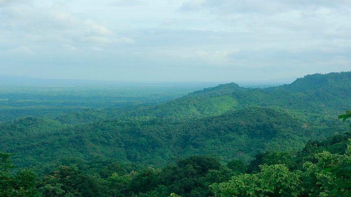
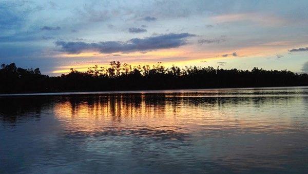
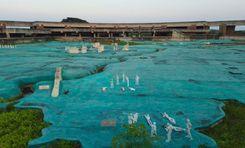
However, what makes Mirsharai Upazila a national and international tourist attraction is its forest areas, lakes, and waterfalls that run along the hillside areas. The most popular sites are Napittachhara Waterfall, Khoiyachara Waterfall, Ruposhi Waterfall, and the Bawachora Lake and Waterfall. The Mirsharai Deer Camp, Mohamaya Lake, Eco Park, Arshi Nagar Future Park, etc., are also popular attractions.<br><br>
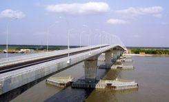
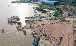
While its tourist spots contribute to its economy, agriculture, fisheries, dairy, and other cultivation are also among the Upazila's main economic sources. The Dhaka-Chattogram Highway has connected Mirsharai to the north, south, and several other cities. People can also travel to the upazila using train routes.<br><br>
The Mirsharai Special Economic Zone is the largest economic zone, and it has created employment opportunities for many people over time. With its attractions and heritage, the area is experiencing many developments and is due for more in the coming years.
View Insights